Matthes - Cathedral - Tenaya Peak Link-Up

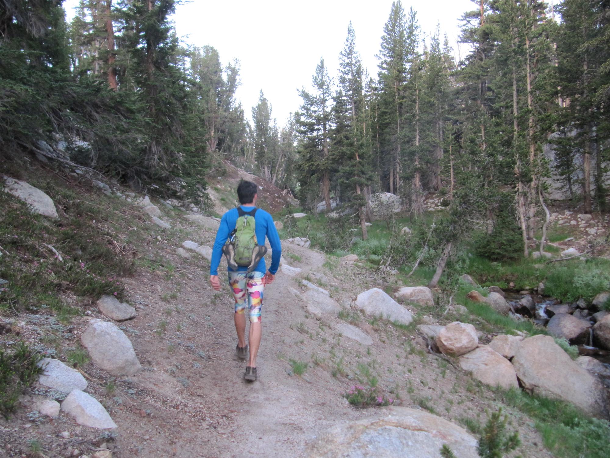
My alarm went off at 3:58 AM, beating Josh’s by 2 minutes and preventing a repeat of the previous morning’s wake-up: a barrage of small pebbles. I was so stoked for the day’s adventure that I skipped coffee, but not my typical camping breakfast of orange juice and Pop-Tarts. We topped off our Nalgene bottles, jumped in the car, and by 5:10 AM we were cruising down the Cathedral Lakes Trail.
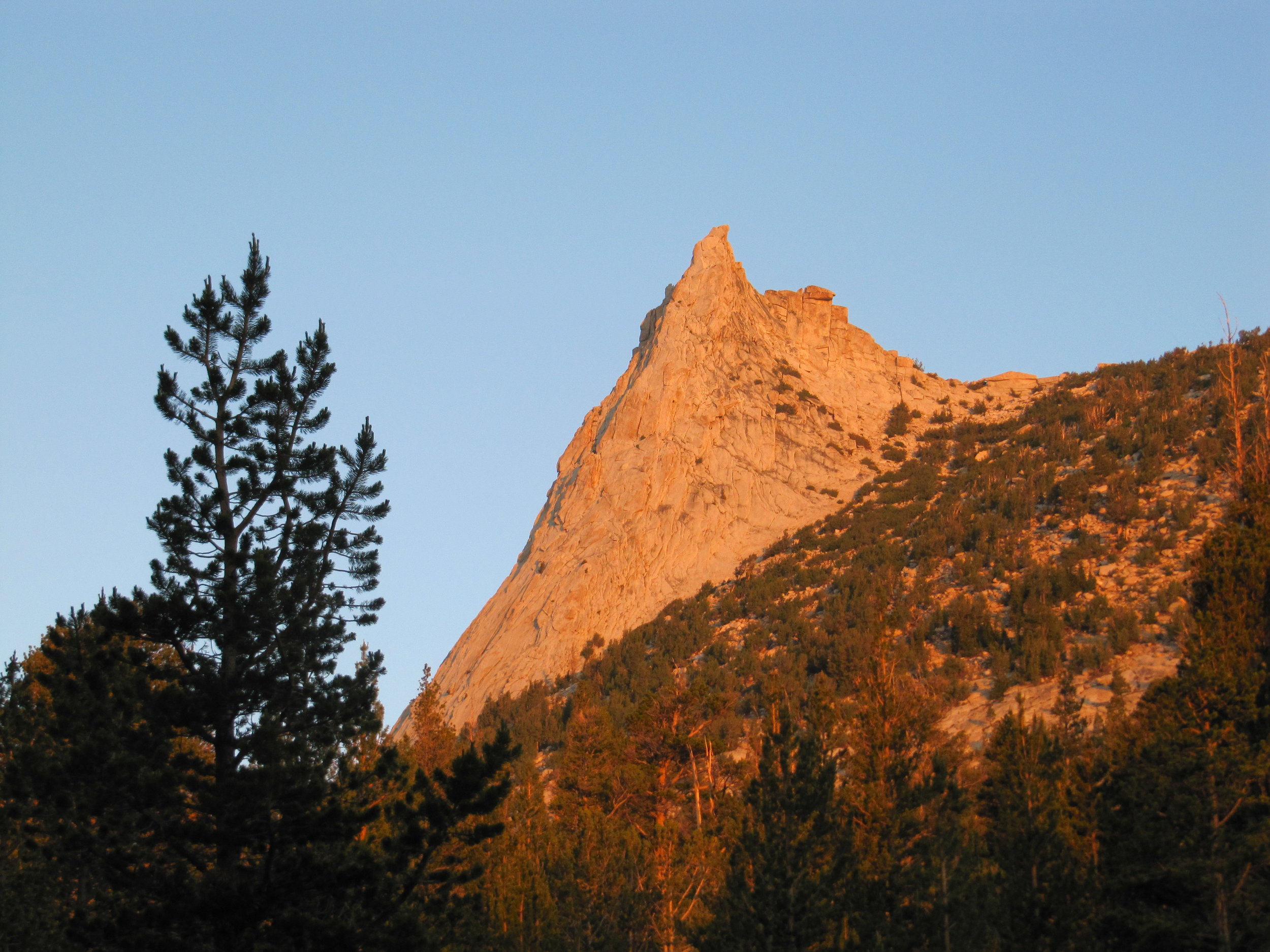
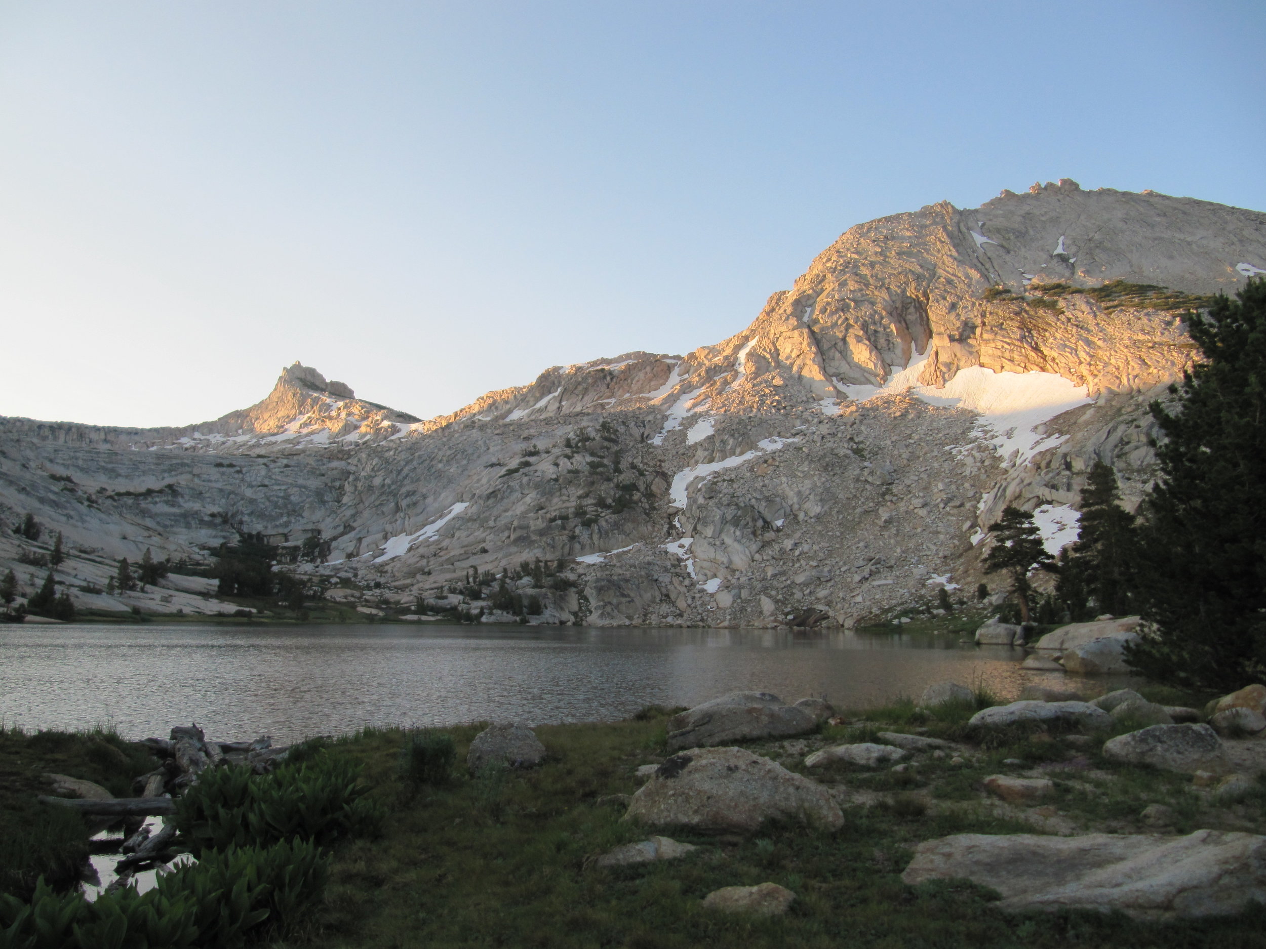
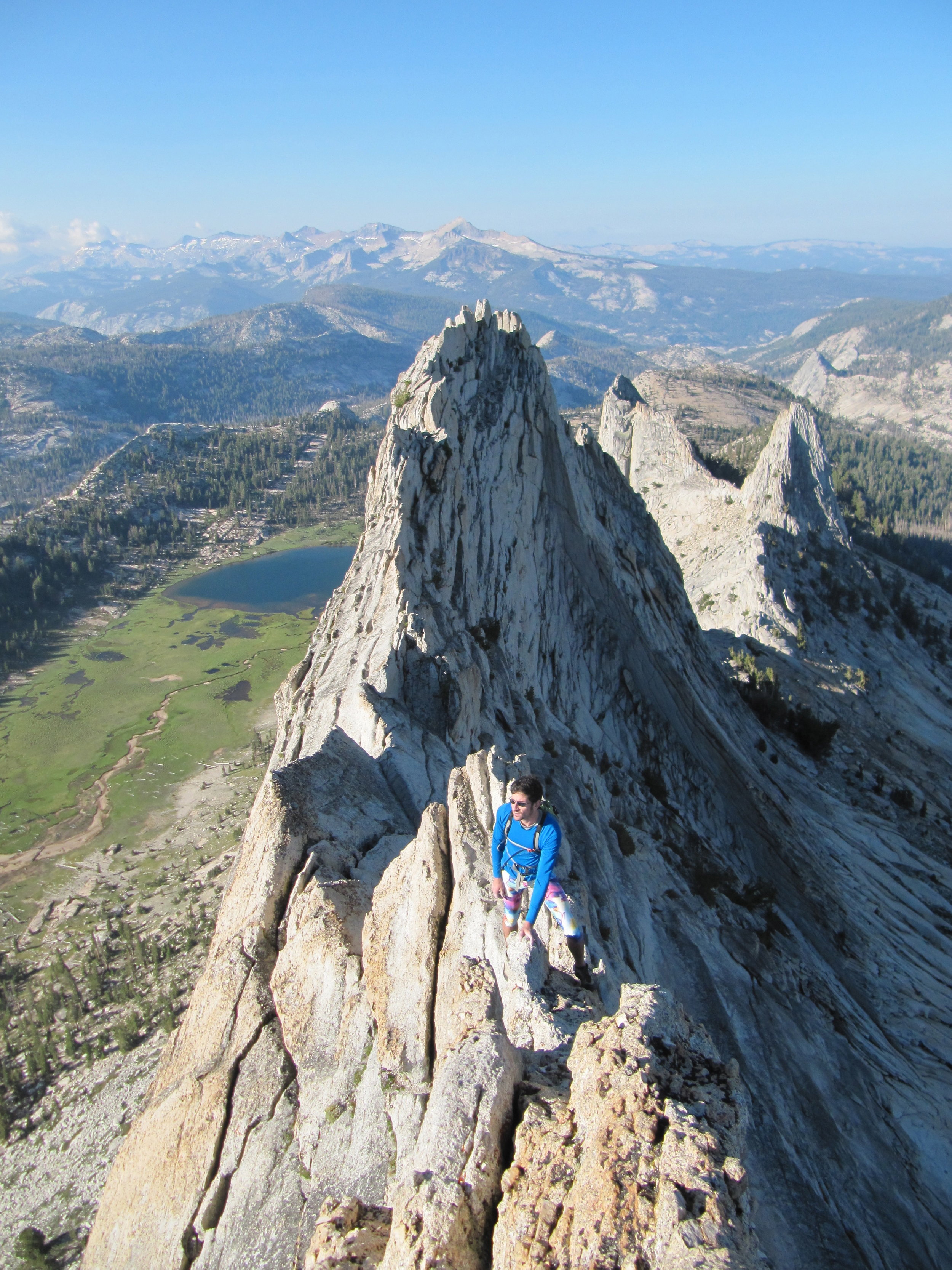
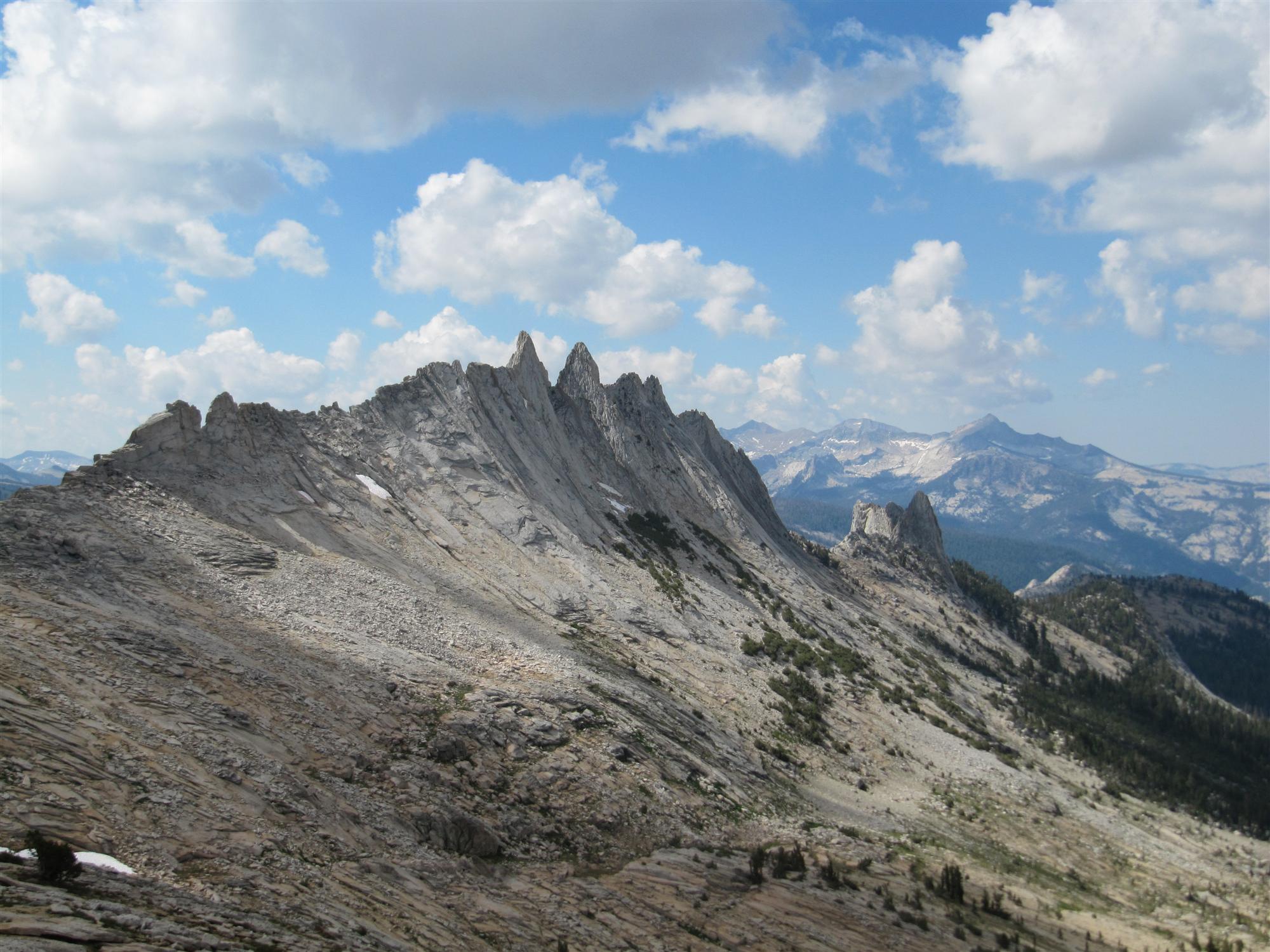
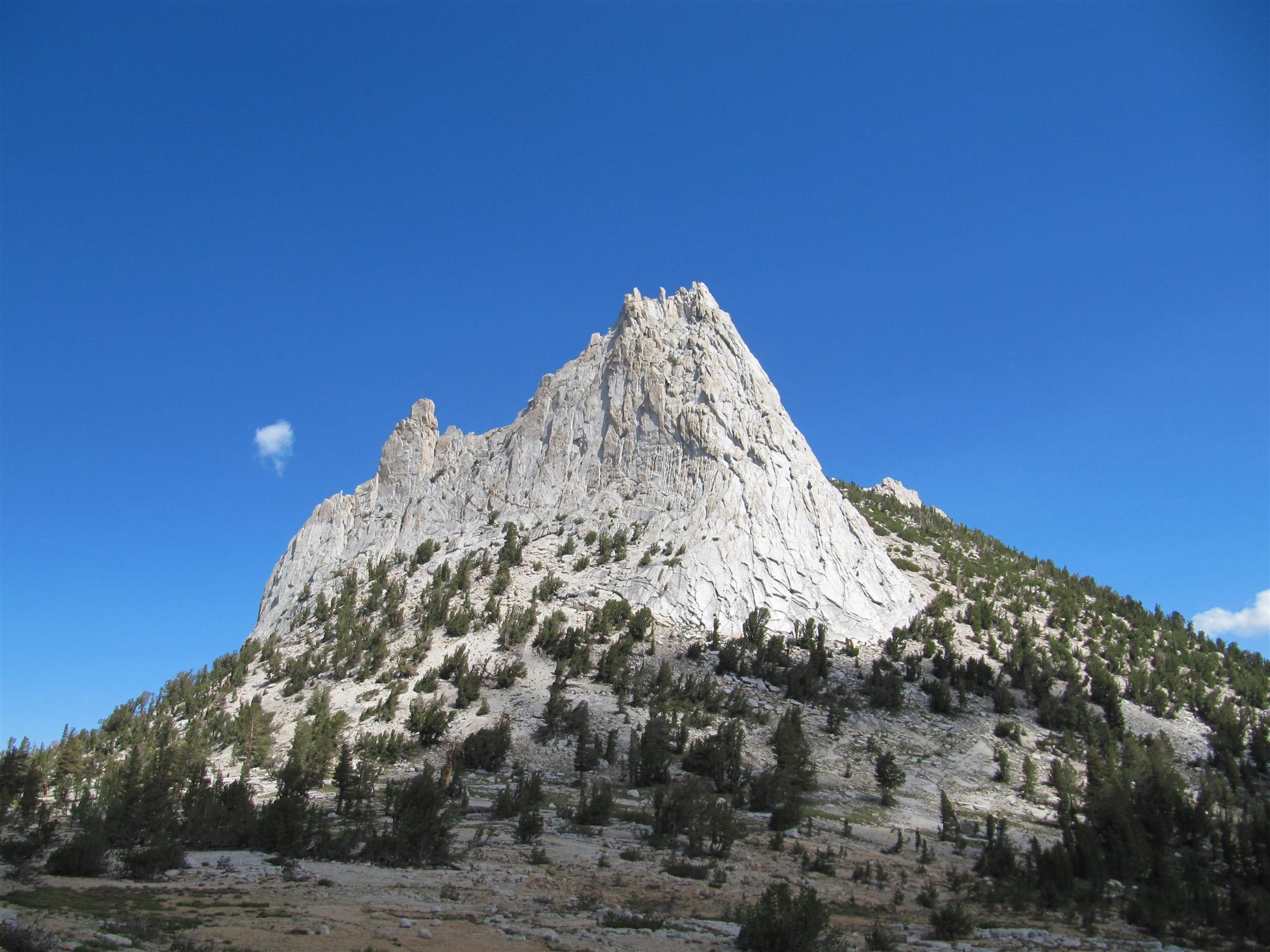
Just over two hours later, we were nearing the south base of Matthes Crest. The 1.5 mile ridge was our first objective of the day. We had already seen amazing scenery on the approach, like the sunrise hitting Cathedral Peak, and I soon learned that the views would only get better as the day progressed. I swapped my approach shoes for a climbing pair, clipped on my chalk bag, devoured a bunch of peanut M&Ms and a banana, and mentally prepared myself for the crux of the day.
Sketchy approaches aside, this was my first free solo experience, and I was a bit nervous. The climbing would only be 5.8 and under (5.7 on the first mile of the Crest, then some 5.8 downclimbing after the point at which most parties rappel off the ridge). Two-and-a-half years ago, when Mesa Rim first offered classes, Josh taught me both how to lead climb, and how to climb cracks. I knew I wouldn’t be embarking on this adventure had he not thought me physically and mentally capable. An exuberant “It’s go time!!” and a song in my head (BT’s Suddenly) cooled my nerves as we made our way up the initial ascent of the Crest.
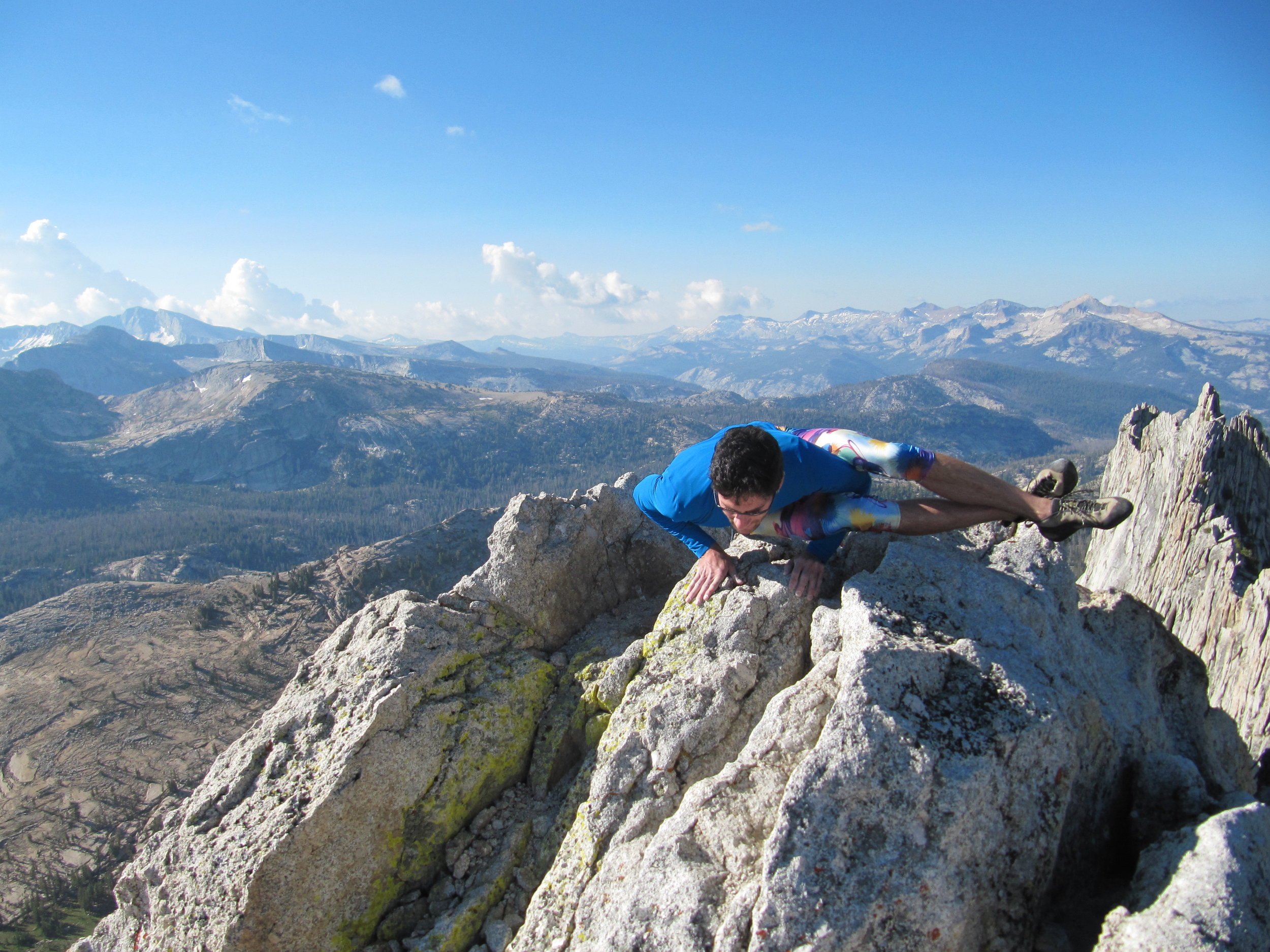
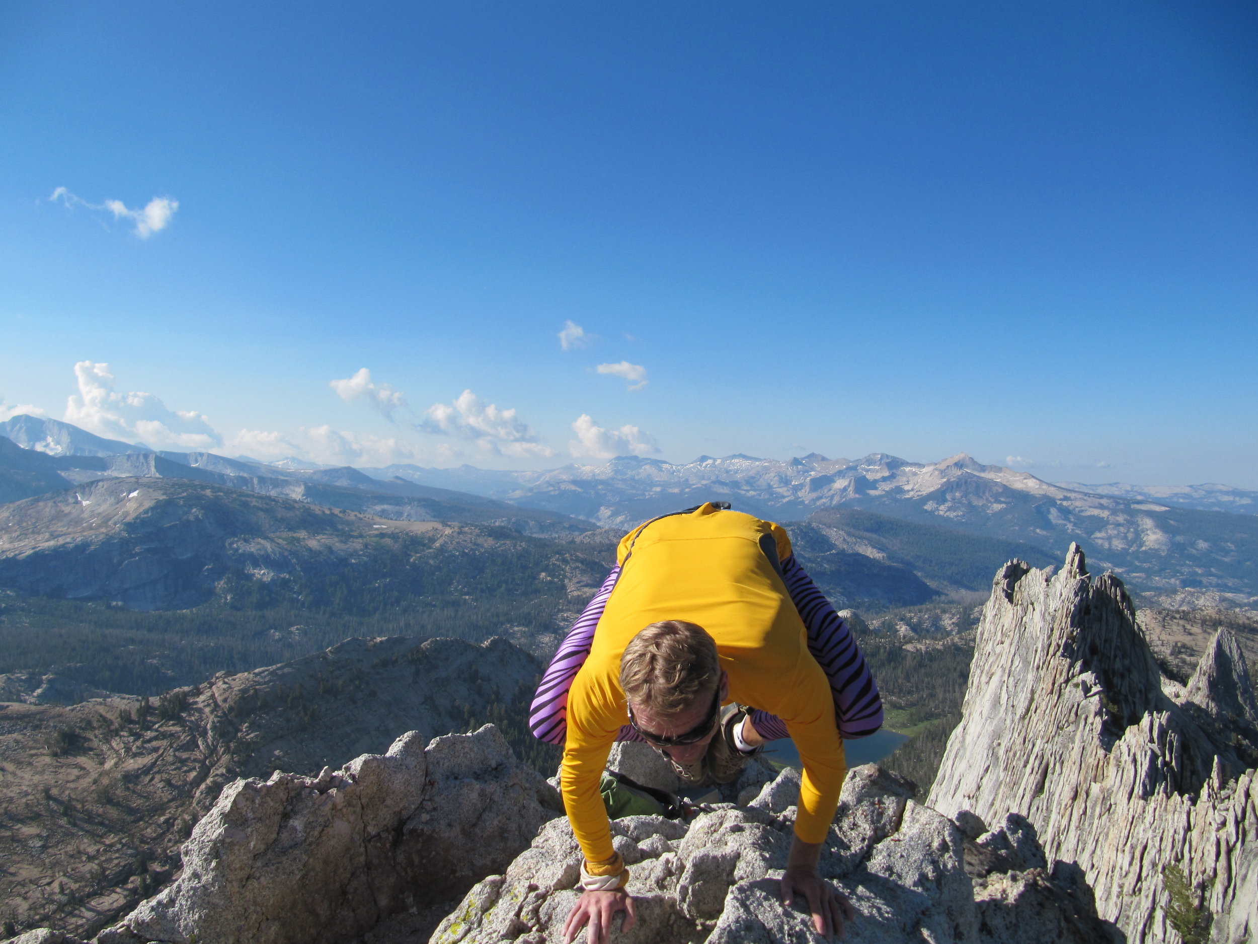
Weaving and scrambling our way along the top of the ridge, we came across terrain that was as impressive as it was myopic. Looking over the right side of the knife’s edge was like looking down the long sweeping drop of the Hoover Dam; to the left side, an incredible array of terraced rock; more than 30 feet ahead at any given point, the moves seemed dubious and improbable. However, the correct way of passage continuously revealed itself as we neared, and after several brief breaks to take in the views and snap photographs, we were making the final cruxy downclimb moves off the ridge. We had covered about 7800’ in 2h 35m.
We enjoyed a quick water and food break before starting the trek up a stepped ridge to the saddle behind Echo Peaks, and were on our way to the second objective of the day, Cathedral Peak. Most of the hiking of the day was at a quick pace, with a lot of running mixed in on the smoother and softer terrain. An hour later we were at the base of Cathedral Peak, having crossed a giant rock causeway between the peaks, looking up at over a dozen parties all over the wall.
Josh seemed a bit disheartened that the crowds might severely slow us down. We stared at the wall for a bit, consulted the SuperTopo trying to strategize, and then decided to just get on with it and follow the universal beta (“just go up!”). As for my keep-calm mental music at this point, it seemed a bit apropos to groove out to BT’s Blue Skies, not only because of the bluebird skies above us but also because we had been listening to a number of remixes of it in the car.
We sprinted up the first few pitches with a minimum of waiting behind other parties. Most of them were passed via face variations of the standard routes, and everyone was friendly and willing to wait for us while we passed or climbed around follower’s ropes. It may have been our friendly San Diego personalities; it could have been that we didn’t have any gear beyond our small REI Flash 18 packs; but most likely, it was our spectacular Lycra tights.
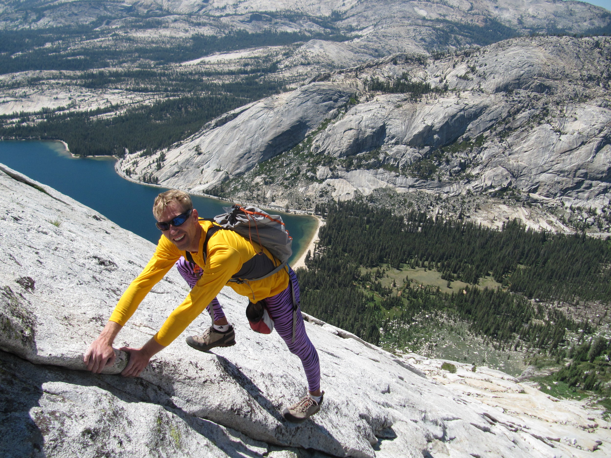
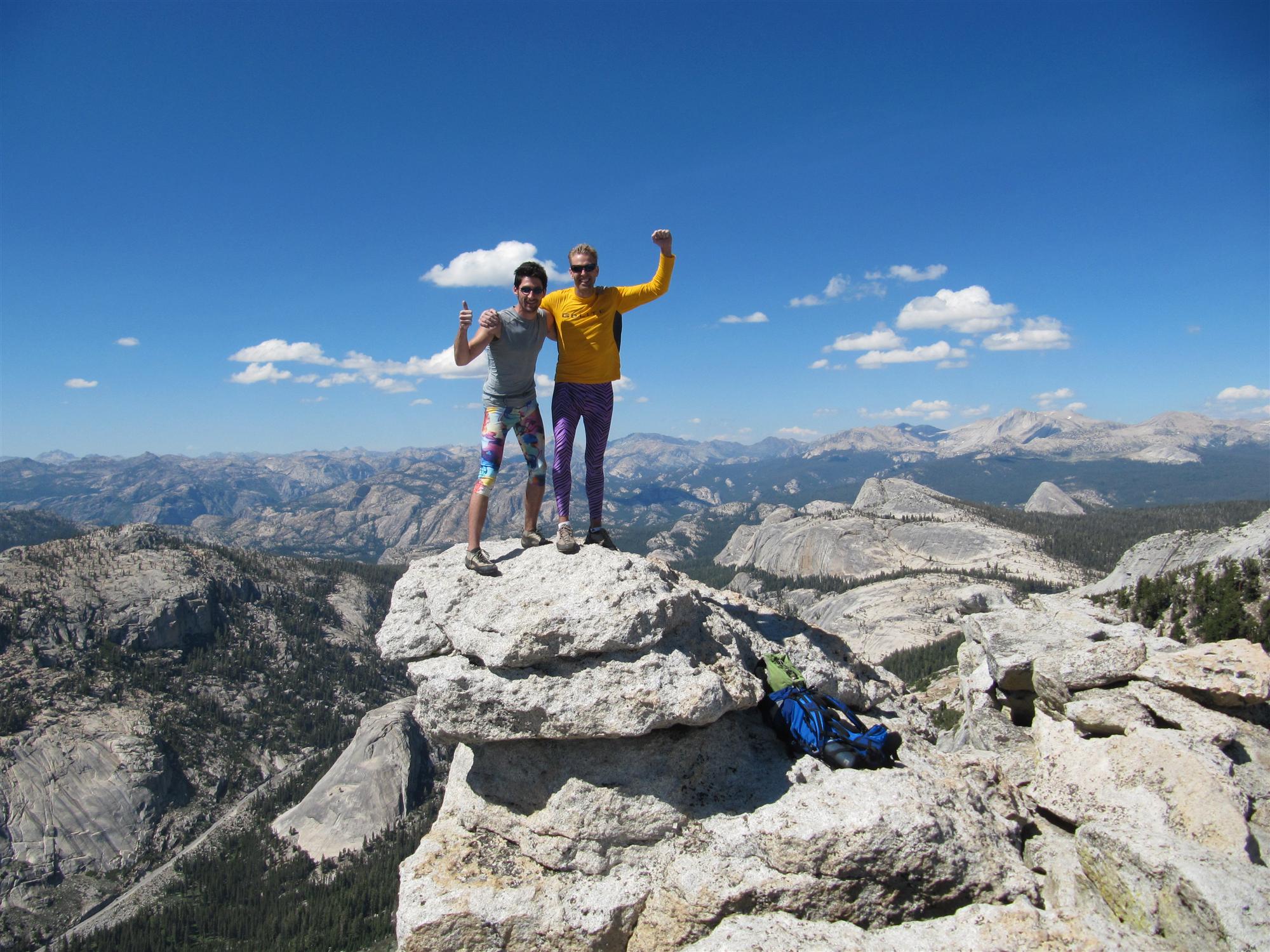
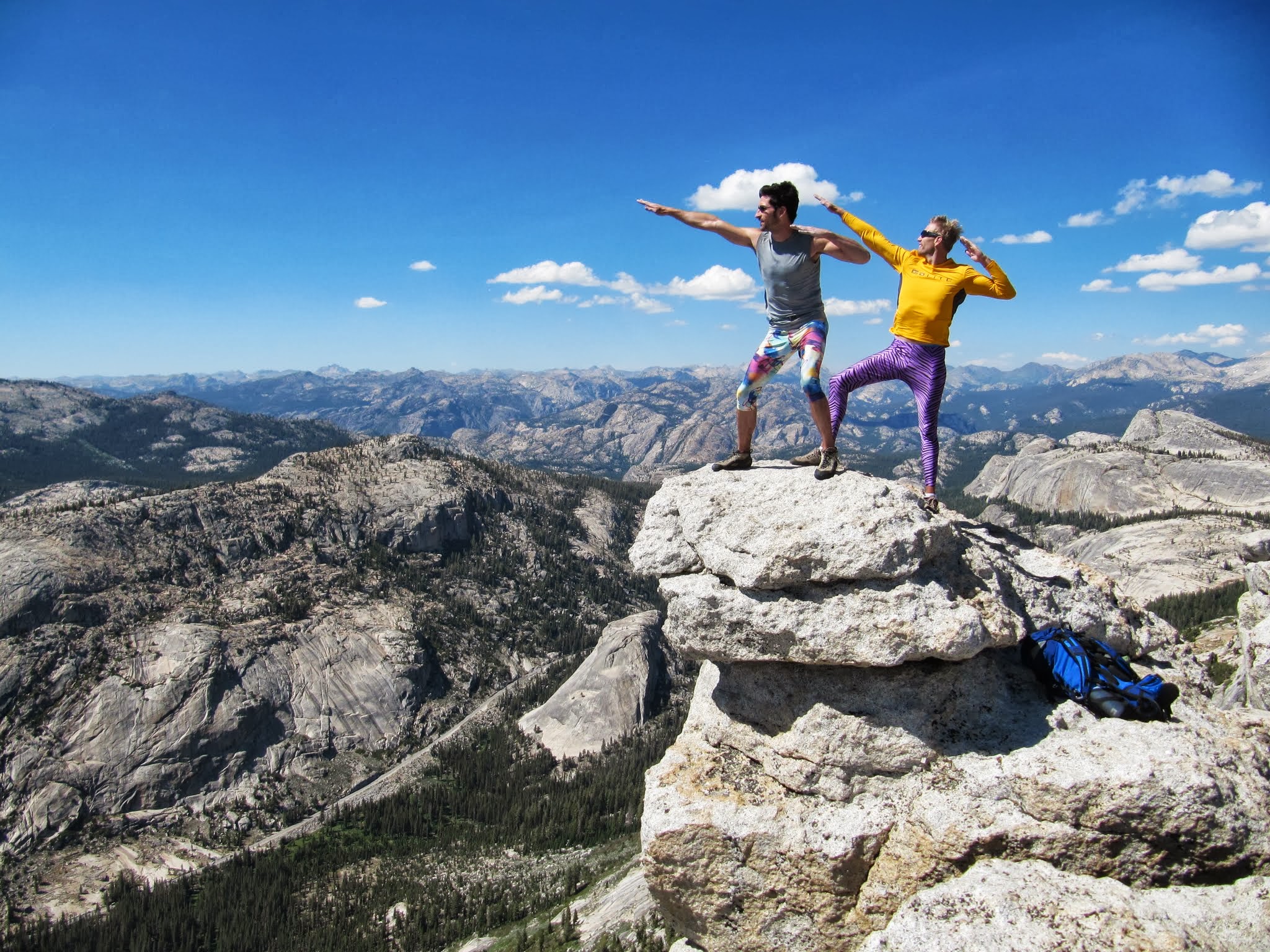
Oh yeah, I forgot to mention that to make the day even more amazing, we were wearing our best tights (www.runningfunky.com, if you want some of your own). I get the impression that people outside of San Diego don’t have the same predilection toward brightly-colored tights. Anyway, 0h 59m and 700’ later, we had covered the knob, chimney/offwidth, and finger-crack cruxes that guarded the summit. We had been lucky with people accommodating us so far on the route, so we skipped taking pictures on the small, very crowded, summit platform and opted for a quick high-five before starting the sprint back to the car. 1h 10m later we were back at the car for thirty minutes of snacking, water refilling, and the short drive to Tenaya Lake.
As we wandered up the vague approach to Tenaya Peak, the impressive scooped peak overlooking Tenaya Lake, Josh began to feel the effects of over a dozen miles of hiking and 8500’ of technical climbing. The fact that this approach was the steepest, loosest, and most difficult to follow wasn’t helping either of our spirits. Additionally, while we had halved the SuperTopo predicted approach times for both of the previous climbs, this one looked like we were going to take the full time and then some! I reminded Josh that punishment equals glory and that our current pains were just a bunch of chemically-transmitted electrical signals, not anything tangible or “real” that we should let slow us down.
Upon reaching real rock, and wandering our way to the base of the route, we felt physically and mentally refreshed and ready to tackle the final 1500’ of climbing. What we really couldn’t wait for most was to jump into Tenaya Lake, which we could see tauntingly below. This final leg was not especially cruxy, but was overall pretty trying. We had to suffer through a thousand feet of calf-burning slabs, vague routefinding, and getting spooked by a marmot that was running down the rock next to us like a lizard! All of this was juxtaposed with the sight of people relaxing on the beach in front of Tenaya Lake, far below us. I had a few songs on my mental iPod during this leg; the most notable ones were Emancipator’s First Snow and Kaskade’s Room for Happiness (Ice Mix). The finish couldn’t come soon enough!
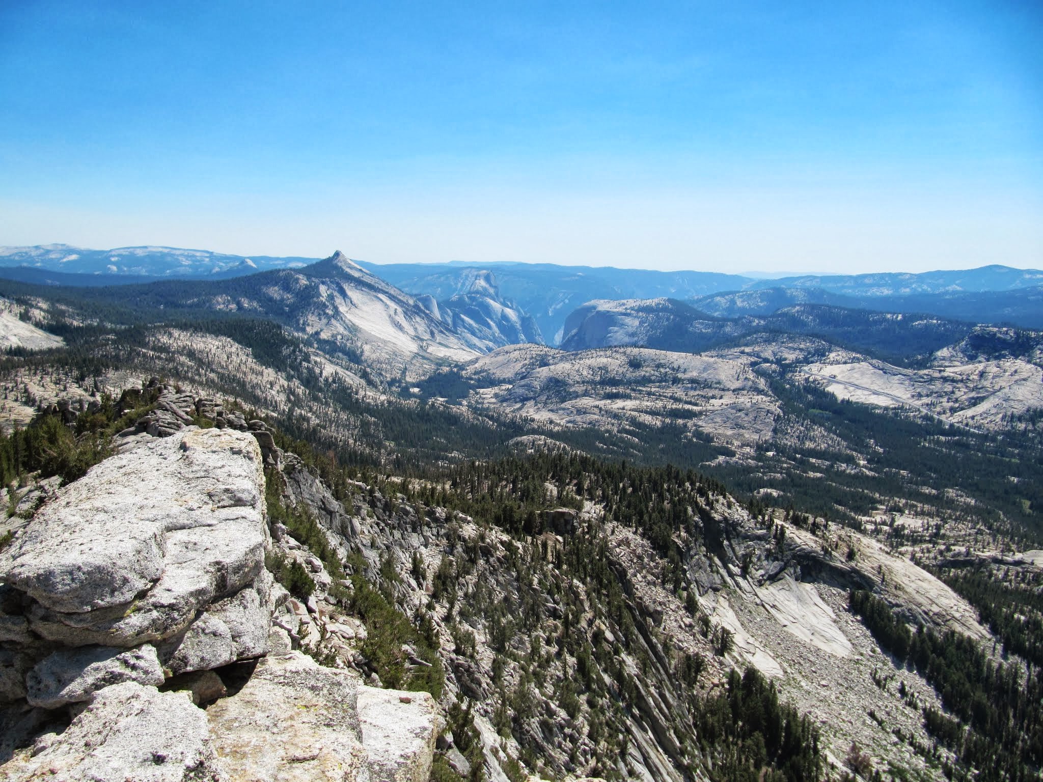
The finish did come soon enough, though. After 1h 15m we made the final hand-crack crux moves right under the summit of Tenaya Peak. The summit views were phenomenal, offering 360° views of Matthes Crest, Cathedral Peak, Clouds Rest, Tenaya Lake, and Yosemite Valley. We ran into a friendly couple on the summit from San Francisco with whom Josh has mutual friends, so we chatted with them for a bit, took in the amazing scenery, and I made my final swap from climbing shoes to approach shoes.
We weren’t entirely finished yet though, still needing to descend, reach the parking lot, and determine our total car-to-car time. The descent was a bit tricky, following broad ledges in the otherwise steep slabby face. We took a couple of wrong turns, but were able to piece together waypoints and continue making downward progress.
About halfway down it was my turn to start feeling the physical effects of all the climbing and hiking. I had tried to eat as many Clif Bars, M&Ms, Shot Blocks, and Gu packets as possible throughout the day, but the altitude (between 9000’ and 11000’) had been suppressing my hunger. Josh noticed that I was losing ground and commented on it, and I tried to keep moving. Starting to stumble, feeling disoriented, and losing peripheral vision, I knew I needed some sugar or I was going to pass out. The only thing I had left was 100 calories worth of Espresso Gu. I ideally wanted at least double that, and hoped that the caffeine in it would supplement the sugar. A minute after finishing it I was back in the game. Josh and I quickly meandered our way down the final talus field, trying to overtake several other descending parties as we jogged into the woods between Tenaya Peak and Lake.
There was one final wide stream to cross before the home stretch. I took off my shoes and socks while Josh found a dry way to cross it. Always one to choose to “ford the river” rather than “take the ferry” in Oregon Trail (hey, the 25¢ fare was a lot of money back in 1848!), I sprinted through the shallows and up the opposite bank, reaching the paved path that guides visitors to Tenaya Lake from the parking lot. We both took off running for the car. Sprinting barefoot with shoes in hand, wearing paintball-print tights, and working up what would soon become blood blisters on both feet, I bolted past incredulous tourists who probably would have done a double-take had Josh not immediately followed in purple tiger-print. I reached the car and threw down my shoes and pack to check the final time: after around 15 miles of hiking and 10,000’ on the rock, we clocked in at 11h 40m from the time we left the car in the morning. We had come in under our 12 hour target!!
We changed into boardshorts and wandered over to Tenaya Lake to rinse off, already feeling sore and exhausted. The views looking up at Tenaya Peak, including the approach, climb, and descent, were sensational. We recounted our own personal interpretations of the physical and mental challenges of the day before heading back to camp for dinner. In the final few moments in the cold lake, we began to throw around ideas for the following day’s adventure. After all, life’s too short to not do outrageously fun, crazy, and epic things as often as possible!
tj
